
New 'flood warning' area created for part of Boston
A new ‘flood warning’ area has been created for part of Boston, meaning the Environment Agency (EA) will be able to notify properties in that part of the town when flooding is expected, rather than just possible.
The change relates to an area south of the South Forty Foot Drain, opposite the Redstone Road Industrial Estate, involving part of Wyberton West Road, part of Park Road, and all of Camel Green.
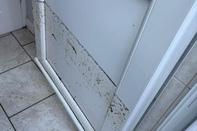
This part of town suffered flooding in January after the watercourse overtopped its banks.
Previously, properties in this part of the town were only able to receive ‘flood alerts’ from the EA, which are used to indicate when flooding is possible.
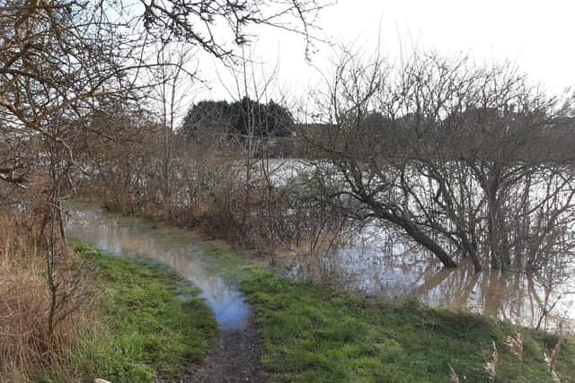

Now, though, ‘flood warnings’ can be issued, which will mean that flooding is expected.
The new ‘flood warning’ area covers 139 properties in all.
Asked about why some areas are able to receive ‘flood warnings’, while others can only receive ‘flood alerts’, a spokesman for the EA said: “Flood warnings require more specific and localised data/telemetry compared to the flood alerts that are a much larger footprint.
“As we get additional intel from locations through flood modelling or previous flooding, this allows us to extend the service. Flood warning areas tend to cover communities as the service is provided for the public, while alerts are broadly used for larger areas at risk of flooding on low lying land/roads.”
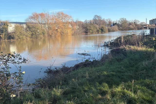
The new ‘flood warning’ area is just one change the EA has made to its Flood Warning Service in Lincolnshire:
- Between Boston and Lincoln, five ‘flood warning’ areas covering the River Witham have been split into 21 new ones. The improvements mean the EA can inform people of overtopping and breach risk. Previously they were only alerted to overtopping risk. These changes will benefit 380 additional properties and 11,500 original properties.
- In Market Rasen and Middle Rasen, 331 additional properties have been added to the ‘flood warning’ area that covers the River Rase from Market Rasen to Bishopbridge and the River Ancholme down to Bishopbridge.
- In Grantham, the River Witham ‘flood warning’ area has been split to improve accuracy.
David Manby, flood resilience team leader at the EA, said: “We have been working hard to improve the accuracy and the reach of our Flood Warning Service to better protect people.
“These changes have been made since the January flooding. We make sure we learn from every incident and improve our flood modelling.”
To sign up to the Flood Warning Service, call Floodline on 0345 988 1188 or visit https://www.gov.uk/sign-up-for-flood-warnings.
Anyone experiencing a ‘flood alert’, is encouraged to prepare for flooding. This could mean packing a bag with medicines, insurance documents and anything else they would not want to lose if flooding were to take place, the EA said.
A ‘flood warning’ calls on people to act now, the EA says, which means turning off gas, water and electricity, and moving family and pets to safety.
A ‘severe flood warning’, the other notification available to the EA, means there is a risk to life. In this case, residents must follow advice from emergency services, the EA says.
To find out if a property is in a ‘flood warning’ area, visit: www.gov.uk/check-flooding.