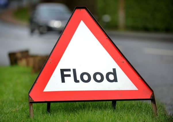
Evacuation routes put in place in preparation for coastal flooding


Lincolnshire County Council has confirmed its emergency planners have been working with highways and emergency service authorities to identify roads which would best support motorists if people needed to evacuate their homes.
The council will now alter its signage at junctions on the road network – adding an ‘ER‘ logo in a red box to highlight the emergency evacuation routes.
Advertisement
Hide AdAdvertisement
Hide AdChief constable for Lincolnshire Police and chairman of the Lincolnshire Resilience forum, Neil Rhodes said:“The devastating floods back in 2013 proved that coastal flooding still represents a serious risk to communities in Lincolnshire, and we have to be prepared for the worst case scenario, which would be if people had to leave their homes.
“It is sensible to identify the routes we would want people to follow for their own safety, and so that the police, fire and rescue and the ambulance service can easily reach people who cannot self-evacuate and could be in danger.”
The evacuate route signage will cost in the region of £105,000 and has been funded by Lincolnshire County Council, East Lindsey District Council and Coastal Pathfinder – the Department for Environment, Food and Rural Affairs.
The authority says the plans come after the 2013 floods ‘highlighted that coastal flooding is a risk’, however it reassured residents the county ‘now has good flood defences’.
Advertisement
Hide AdAdvertisement
Hide AdThe routes run along the east coast and to the south of the county which the authority says would provideresidents with a quick and safe route to higher-ground.
Executive Member for Highways at Lincolnshire County Council Coun Richard Davies said: “We absolutely want Lincolnshire to be a safe and prosperous place and the evacuation signs will help us to become even more resilient.
“This provision will help us encourage residents who live in these flood risk areas of our county to follow the signs in an emergency and will also raise awareness amongst tourists and visitors who are not familiar with our road network.
“While the evacuation routes will lead you to safety it is a good idea to consider where you might go if you had to evacuate your home.”
Advertisement
Hide AdAdvertisement
Hide AdLeader of East Lindsey District Council Coun Craig Leyland, added: “It is well known that coastal flooding is a major risk in Lincolnshire and for many years emergency services and councils have been planning for their joint response should it happen.
“The evacuation route signage that is to be installed forms part of that planning. If coastal flooding was forecast and there was a need for people to evacuate their homes the authorities would expect those able to remove themselves from danger to do so of their own accord, once the initial warning is issued.”
The flood evacuation routes are signed as follows and will be installed from the end of September:
· From Saltfleet to the B1200 then to the A16 / A631
· From Mablethorpe to the A1104, the A157
· From Sutton on Sea via the A1111 to the A1104
· From Ingoldmells via B1449 then the A1104
· From Ingoldmells via Addlethorpe, through Orby to the A1028 then joining the A16
· From Skegness via the A158
· From Boston following the A16 northbound or southbound
Advertisement
Hide AdAdvertisement
Hide Ad· From Boston via the B1183 to Revesby then the A155 towards Coningsby
- From Boston via the A52, A1121 then to the A17
· From Sutterton / Fosdyke via the A17, the B1181 then the A52 towards Grantham
· From Spalding via the A16 to the A1157
· From Spalding via the A151 towards Bourne
· From Long Sutton / Sutton Bridge via the A17 and the A151
For more information about flooding visit: http://www.lincolnshire.gov.uk/lincolnshire-prepared/