VIDEO: Met Office issues weather warning for heavy rain and frequent lightening for Thursday and Friday


The forecast for Thursday is for slow-moving, thundery showers which may lead to locally torrential downpours across the area, with the risk of frequent lightning.
It follows similar storms that raged across the north on England last night, disrupting roads, power and sporting events.
Advertisement
Hide AdAdvertisement
Hide AdA Met Office spokesman said: “Please be aware that whilst many places will miss them, there is the risk of flash flooding.
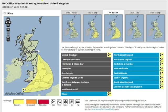
“Thunderstorms may break out in warm, moist air spreading up from the continent. Some locations could see 30-40 mm in an hour and where this falls on urban areas or main roads it could cause disruption to transport and possibly to power.
“The main risk period is during the afternoon and early evening, though a few thunderstorms are likely to rumble on into the night.”
Rain spreading from the west may turn locally very heavy and thundery from early Friday morning, with the risk of some torrential downpours very locally.
Advertisement
Hide AdAdvertisement
Hide AdA front coming from the Atlantic will merge with warm, unstable air over the country to bring the risk of 30-40mm in an hour in places and more than 50mm in a few hours.
Whilst the vast majority will have much less than this, it could cause disruption, especially if heavier bursts coincide with urban areas