UK weather: Met Office say July 2023 was ‘one of the wettest on record’ as Brits endure wash-out summer
and live on Freeview channel 276
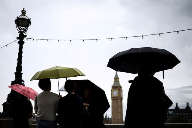
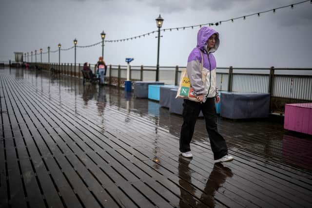
Last month was the UK’s sixth wettest July on record and the wettest ever July in Northern Ireland, according to new data from the Met Office. The wash-out start to the summer saw an average rainfall of 140.1mm across the UK last month - the sixth highest total for July since records began in 1836.
The long periods of damp and windy weather are thought to be down to a succession of “low pressure systems”, making it feel at times more like autumn than summer. The conditions are in sharp contrast to July 2022, which saw a series of heatwaves and temperatures soar as high as 40C in some areas.
Advertisement
Hide AdAdvertisement
Hide AdThe year 1988 holds the record for the UK’s wettest ever July, with an average of 150.5mm of rain, followed by 2009 (145.5mm), 1939 (143.5mm), 1936 (142.6mm), 1888 (142.2mm) and now 2023. Meanwhile, Northern Ireland had an average of 185.4mm of rain last month, which was just above the previous record of 185.2mm set in July 1936.
But the Met Office said this figure could be revised once all rainfall data for July is collected and reviewed. It was provisionally the eighth wettest July on record in Scotland (an average of 155.1mm of rain), the 10th wettest in England (120.4mm) and the 11th wettest in Wales (176.7mm).
Some parts of England also set new rainfall records - Greater Manchester, Lancashire and Merseyside all recorded their wettest July. Overall, Lancashire was the wettest county compared to average, with 234.6mm of rain falling in the month.
July 2023 was slightly cooler than usual, with a mean temperature across the month of 14.9C, 0.3C below the average for the period 1991-2020. Ironically, the previous month was the warmest UK June on record with a mean temperature of 15.8C - 2.5C higher than average.
Advertisement
Hide AdAdvertisement
Hide AdMike Kendon of the Met Office said: “It has been a significantly wet month for much of the UK, particularly for those in Northern Ireland. The jet stream has been shifted to the south of the UK for much of the month, simultaneously allowing extreme heat to build in southern Europe for a time, but also allowing a succession of low pressure systems to influence the UK, with long periods of winds and rain that many more typically associate with autumn weather.”


The Met Office said it was “fundamentally not the case” that July’s wet and windy weather dismisses the influence of climate change, as the UK’s variable climate will continue to have some cooler-than-average months. Mr Kendon added: “Although July 2023 is considered to be a cooler-than-average July by current standards, for an early climate baseline of 1961-1990, if would have been considered a warmer-than-average July. This a tangible example of how we see the climate changing in our long-term data.”
Sam Larsen, director of programmes and planning at the industry body Water UK, said: “The recent wet and unsettled weather has helped river, reservoir and groundwater levels recover in much of the country. However, there are still areas in drought or that have experienced prolonged periods of dry weather, and climate change is changing the weather patterns that we all rely on for water.”
The UK saw 81 per cent of its average hours of sunshine for the month, while Wales and Northern Ireland both saw just 70 per cent. Along with frequent rain, the UK experienced some strong winds in July.
Advertisement
Hide AdAdvertisement
Hide AdA gust of 79mph was recorded on July 15 at the exposed site of Needles on the Isle of Wight. Gusts above 55mph were also recorded in Devon, Gwynedd and Northumberland.
Met Office long-range forecast - when will it stop raining?
According to the Met Office, the week following Sunday 6 August will see a mix of sunshine and showers initially, these most frequent and heaviest in the northwest. The brightest conditions are likely in the south, where it will “feel more pleasant”. The following week will see changeable, “often unsettled” conditions, with showers and longer spells of rain likely, but some drier and brighter interludes.


Winds will generally be light to moderate, with a continued risk of strong winds at times with temperatures remaining below average. Beyond this, while changeable conditions are never too far away indications are that more settled conditions “become the more likely scenario, but interspersed still with some more unsettled weather”.
Temperatures continue to be mostly below average although should start to recover by mid-August.
